Portland International Airport (PDX)
Orientation and Maps
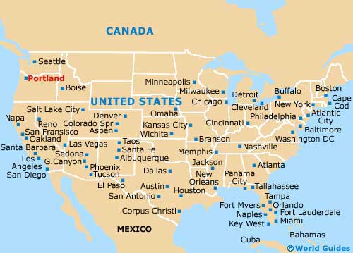
(Portland, Oregon (OR), USA)
An especially attractive city, graced with numerous parklands and gardens full of flowers, Portland is situated and the confluence of Columbia River and Willamette River. Nine major bridges span both of the rivers around Portland and the city can be accessed from all sides.
To the northeast of the city center, Portland International Airport (PDX) is close to the Government Island and the Glenn Jackson Bridge, and connected by the TriMet MAX light-rail train. Also nearby is the Portland International Center and Maywood Park. Greyhound buses link the city of Portland with a number of cities off the I-5 interstate, with the terminal lying along NW 6th Avenue. Many people also arrive on Amtrak trains, which stop at Union Station on 6th Avenue.
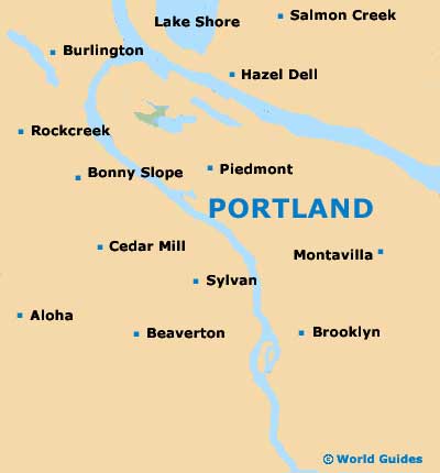
Portland International Airport (PDX) Maps: Important City Districts
The city of Portland is separated into eastern and western areas by the Willamette River, while Burnside Street also divides much of the city, north to south. The downtown district of Portland is based in the southwest side, while the historical Old Town stands to the northwest, close to a high concentration of shops. Northwestern Portland and the downtown district are linked by the city's regular streetcar.
Close to downtown Portland is the Lloyd District, where you will find the Lloyd Center, an impressive mall full of shops. Further north lies the renovated NE Alberta Street area, which is home to a lively arts scene and plenty of action. Located in Portland's southeastern quarter, the Hawthorne District is a laid-back, bohemian neighborhood, sandwiched between 30th Avenue and 45th Avenue.
USA Map
Oregon Map

Portland Map